

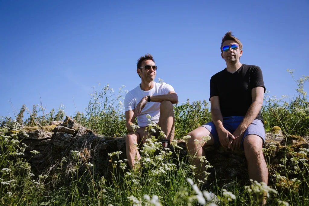
This four-day circular walk sees the best of the Cotswolds Way. It starts and ends at Moreton-in-Marsh, covers 51 miles of rolling hills, ancient market towns, and beautiful villages.
The Cotswolds Way is one of Britain’s famous long-distance trails, but at 102 miles and up to 10 days of walking, it’s out of reach for many.
So we designed something better — a 4-day circular route that cherry-picks the best section of the Cotswolds Way, beginning and ending at a train station just 90 minutes from London.
The walk is comfortable, well-paced, and packed with most of our favourite places in the Cotswolds.
Each day ends in a beautiful village, where you can unwind in a cosy country pub.
Here’s all the information you need to plan a multi-day Cotswolds Way hike.
The Official Cotswolds Way Route
The official Cotswolds Way is 102 miles long and runs between Chipping Campden and Bath. We’ve hiked extensively in the UK, and we can assure you this is a great walk, but there are some downsides.
Firstly, it takes between 7 and 10 days to complete, so it uses a chunk of your holiday time and requires a decent level of fitness.
Secondly, there are sections with no good places to stay. So if you were to do the full official route, you’d have some 20-mile days and be staying in less-than-charming accommodations
Thirdly, it’s a linear route which does not start at a train station. So you either need to get a bus to the start (if you are taking public transport) or find a way to get back to Chipping Campden from Bath at the end (if you are using a car).
Our 4-Day Cotswolds Way Circular Route
So we decided to come up with a 4-day circular walk that starts and ends at a train station, hikes the finest section of the Cotswolds Way, visits the prettiest villages in the Cotswolds, and has great pubs and villages to spend the evenings.
In our opinion, this is a much better and more enjoyable way to see the best of the Cotswolds than hiking the entire Cotswolds Way.
If you would prefer to see the Cotswolds without doing it all in one go, head over to our Best Day Walks in the Cotswolds post.


Cotswolds Way Circular Hike Details
- Day 1: Moreton-in-Marsh to Broadway (13 miles)
- Day 2: Broadway to Winchcombe (14 miles)
- Day 3: Winchcombe to Bourton-on-the-Water (12 miles)
- Day 4: Bourton-on-the-Water to Moreton-in-Marsh (12miles)
This circular walk is 51 miles long and begins and ends in Moreton-on-the-Marsh, which is 90 minutes by train from London.
It lasts 4 days and covers 12-14 miles per day. Each day should take between 5 and 6 hours of leisurely walking time. By the time you have added an hour for lunch and an hour exploring the villages, it is a full day.
There is about 1,000 to 2,000 feet of ascent and descent each day, but the steady pace means you will get tired but should not be exhausted.
Every night is spent in a village with a few options where to stay, one of which is a traditional pub.
Each morning, you order a packed lunch from your hotel, buy one from the village you are staying in, or stop at a cafe or pub on route.
We have put together this OS Map of the 4-day Route so you can see where you’re going.
Highlights of the Walk
We have picked a route that tries to pack as many of our favourite places in the Cotswolds as possible into this walk. Here are some of the highlights:
- Best section of the Cotswolds Way – Chipping Campden to Winchcombe
- Bourton-on-the-Water – known as the Venice of the North
- Lower Slaughter – possibly the prettiest village in the Cotswolds
- Broadway Tower – with great views over the Severn Valley
- Snowshill Manor & Gardens – grand manor house and quirky gardens
- Stow on the Wold – delis galore on its quaint shopping streets
- Country pub – each night in a country pub in a beautiful village
Getting There-And-Back
The walk begins and ends at Moreton-in-the-Marsh.
By Train – Moreton-in-the-Marsh is on the fast mainline service running between London Paddington Station and Hereford. From London, the train is direct and takes 90 minutes.
We got the first off-peak train of the day (usually just before 9 am), which arrives in Moreton-in-the-Marsh about 10:20 am. This gave us plenty of time to complete Day 1 of the walk.
However, if you come in the depths of winter and the days are short, you should take the 2A bus to Chipping Campden and start from there. Or take the train the night before and stay in Moreton-in-Marsh overnight.
Return trains to London run late into the evening, so there is no need to rush on your final day.
By Car – Moreton-in-Marsh is about 1 hour 15m minutes drive from Birmingham, 1 hour 20 minutes from Bristol, and 2 hours from London. There is plenty of parking on the back streets, but please be considerate of local residents.
Where to Stay
Each night is spent in a pretty village with several options for accommodation.
We prefer staying in traditional country pubs. However, some of the villages also have B&Bs and more upmarket hotels.
We will recommend options in the day-by-day detailed itineraries below, but to help you book, here are a good-value pub and a more upmarket option for each day.
Day-By-Day Detailed Itinerary
Below is a day-by-day outline of the hike. We have included the start point, end point, walking distance, and elevation change.
It also has an expected walking time, but be sure to add another 60 to 90 minutes for lunch, rest, enjoying the views, and exploring the sights on route.
If you walk a lot in the UK (like we do), then OS Maps are a great resource. They cost a £36 a year subscription for all the Ordnance Survey Maps of the UK.
The app allows you to save hikes, download the routes offline and follow your progress as you walk. They are incredibly detailed, and with them, it’s almost impossible to get lost.
We use them all the time, and below we have provided a link to an OS Map for each day of the walk.
Day 1–Moreton-In-Marsh to Broadway
- Start: Moreton-in-Marsh
- End: Broadway
- Distance: 13.0 miles
- Elevation: 1,600 ft ascent and descent
- Time: 5 to 6 hours walking time
- High Route Map: OS Map Cotswolds Circular Day 1
Morning
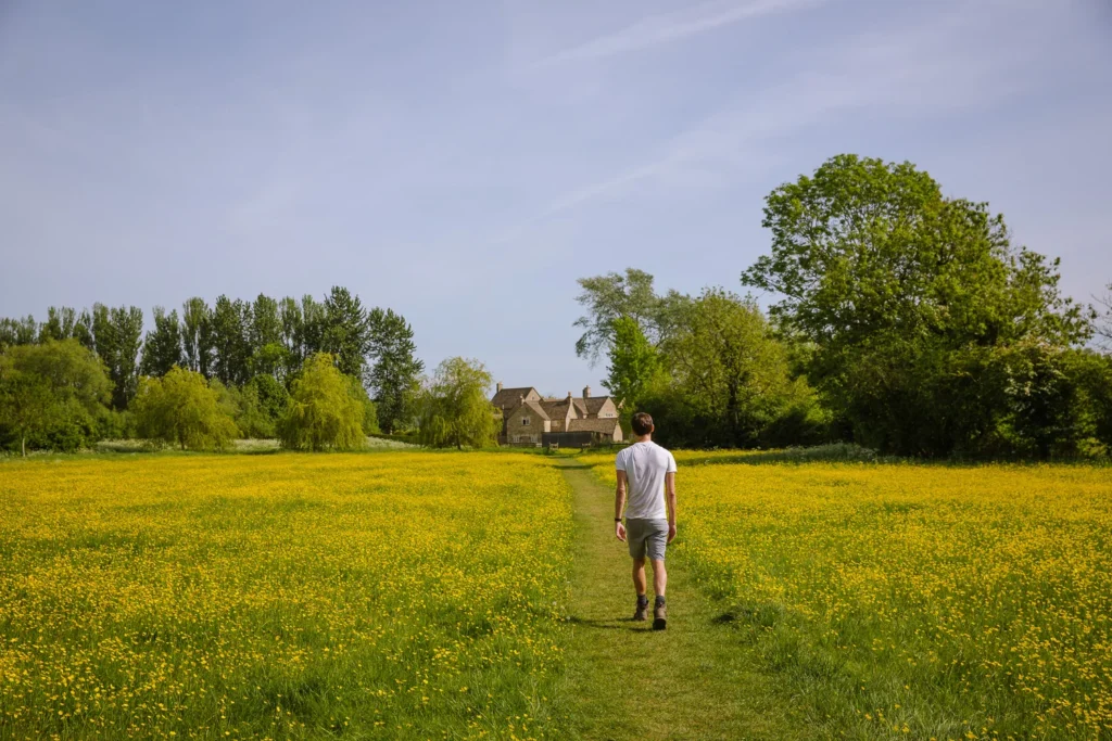
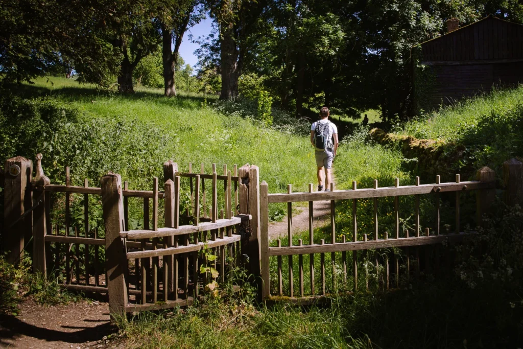
On day 1, after arriving by train from London, we hiked from Moreton-in-Marsh to Broadway. It’s a lovely walk, first across fields and then along the top of the Cotswolds escarpment.
Along the way, it visits four great villages, with two excellent pub options for lunch.
Exiting the train station, we spent 15 minutes exploring the antique stores of Moreton-in-Marsh before picking up the Monarch’s Way and heading across the fields northwest to Blockley.
Lunch
Blockley is a very picturesque little village with a couple of good lunch options.
Blockley Cafe serves simple snacks and lunches from 9 am each day. The Great Western Arms is a traditional country pub serving pub classics (Fri-Sun). Or you can do what we did and pick up a picnic from the deli in Moreton-in-Marsh.
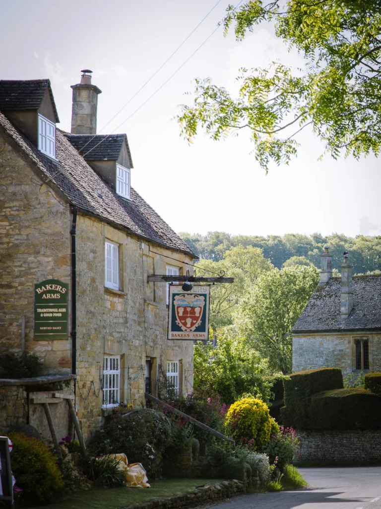
From Blockley, we continued following the Monarch’s Way to Broad Campden, another lovely and under-visited village set around a pretty green. It has its own excellent pub, The Bakers Arms, also serving lunch and is open every day.
Afternoon
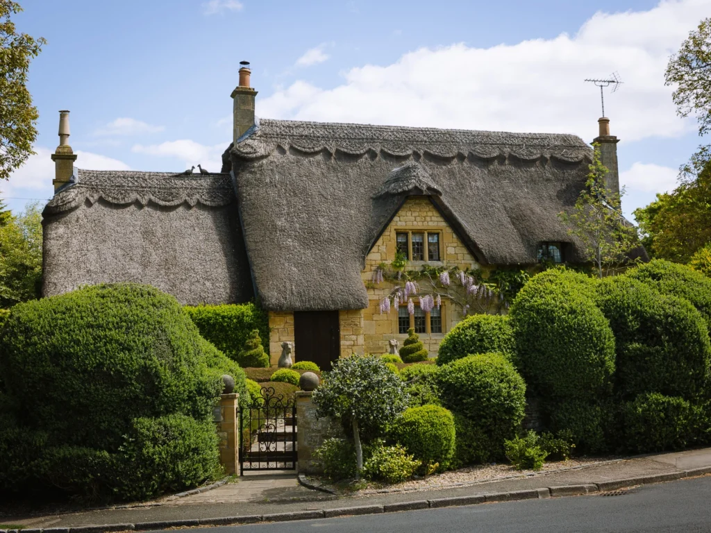
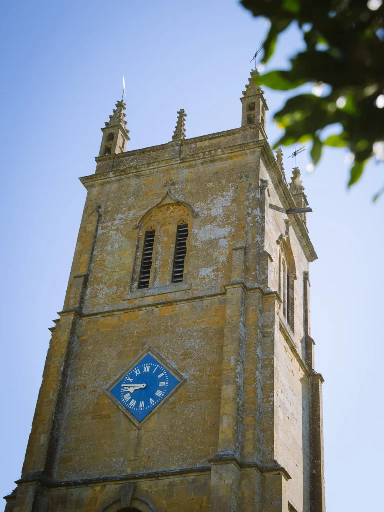
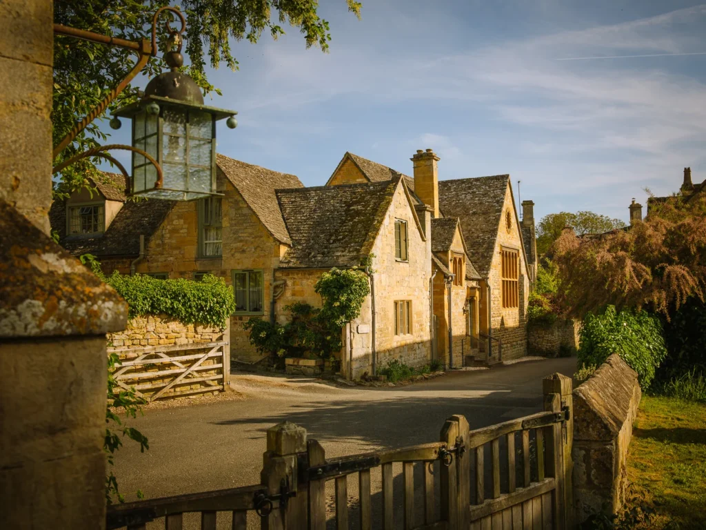
Next stop is Chipping Campden, renowned for its stunning honey-coloured limestone buildings and well-preserved medieval High Street.
It’s worth taking time to explore here, and we suggest you take the detour to the St. James Church at the east end of town and don’t miss the old ‘chipping’ or ‘market.’
Chipping Campden is the beginning of the Cotswolds Way, and for the next two days, the trail follows this 102-mile-long distance walk. There are plenty of places for a tea or coffee before setting off towards Broadway
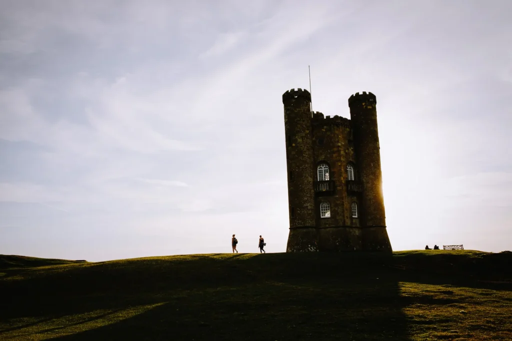
From Chipping Campden, the Cotswolds Way climbs up the escarpment to the viewpoint at Dover’s Hill and then follows the top of the ridge to reach Broadway Tower.
This strange folly has magnificent views north and west, and when we were there, it was so clear we could see all the way across the Severn Valley to the Black Mountains.
From the tower, the route steeply descends the Cotswolds escarpment, ending in the village of Broadway.
Evening
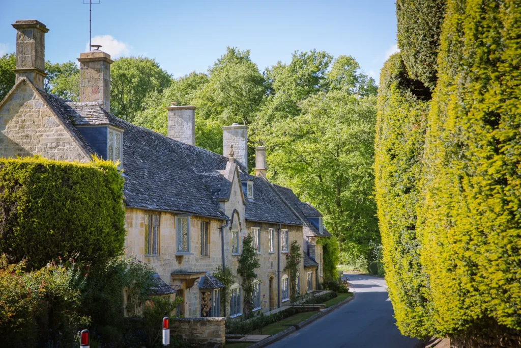
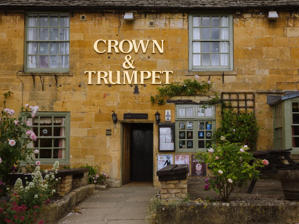
I’ve always loved Broadway with its little art galleries, cute coffee shops, and grand facades. It’s a great place to spend the night.
We stayed at the good-value, friendly Crown & Trumpet, but for a more upmarket offering, try the Broadway Hotel, which has a lovely garden out front.

Day 2 – Broadway to Winchcombe
- Start: Broadway
- End: Winchcombe
- Distance: 13.8 miles
- Elevation: 2,000 ft ascent and descent
- Time: 6 to 7 hours walking time
- High Route Map: OS Map Cotswolds Circular Day 2
Morning
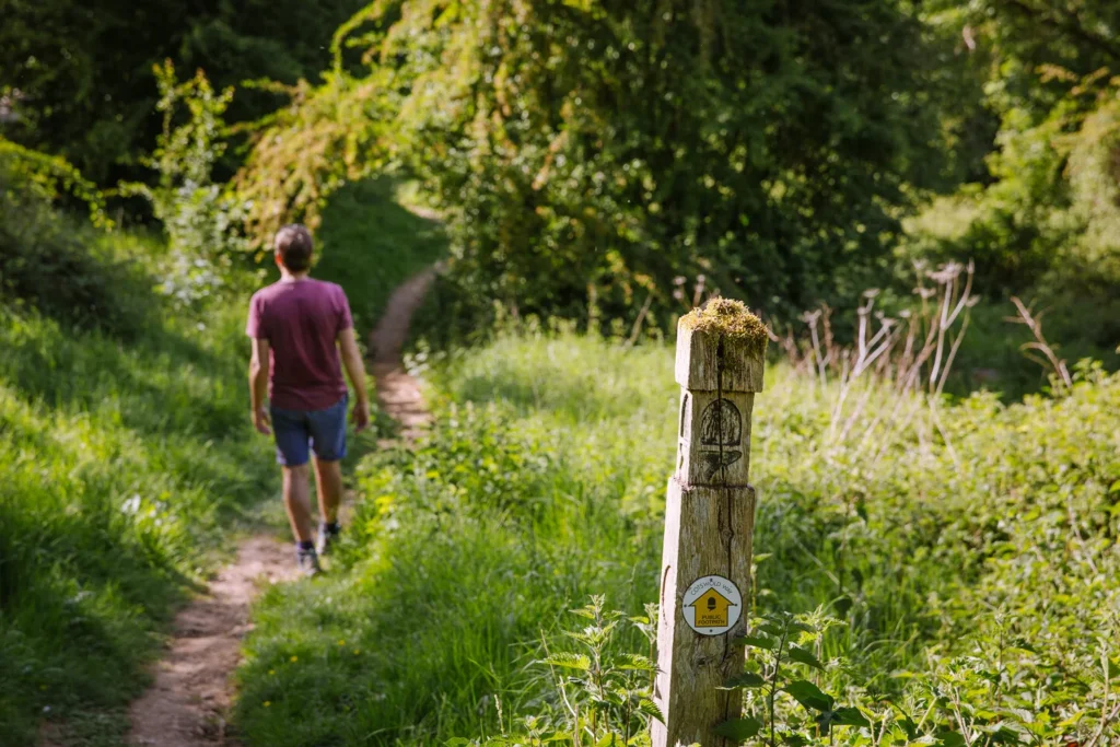
Day 2 starts at Broadway and ends in Winchcombe, following the Cotswolds Way for almost the entire day. It’s an excellent day that heads up and down the escarpment, has wonderful views and visits several very attractive – but off the beaten track – villages.
We began with a bit of a slog back up the escarpment, passing the ruins of an old hill fort. At Buckland Wood, we decided to take a short detour off the Cotswolds Way to Snowshill (and we recommend you do the same).
We had heard it was a beautiful village with a grand manor house and striking church, and we were not disappointed. We then headed back to rejoin the Cotswolds Way and descend into Stanton, another lovely little village.
Lunch
Stanton has a great pub called the Mount Inn. We had taken a bit of time looking around Snowshill, so it was just about lunch time when we arrived in Stanton, and we could not resist having lunch on the inviting tables outside the pub (Tue-Sun 12 pm to 3 pm).
If you’d rather have a picnic, grab some food at one of the delis in Broadway before setting off. Or get a packed lunch from where you stayed the night.
Afternoon
After lunch, we continued on the Cotswolds Way following the valley floor to the hall at Stanway. There is a climb up to Stumps Cross and then a descent back to Hailes (both of which you can skip if you want).
Just before Hailes, you’ll pass Hailes Fruit Farm, which sells its own Apple Cider and the ruins of Hailes Abbey. The last stretch is an easy walk into Winchcombe.
Evening
Winchcombe is a charming Cotswolds village, slightly spoilt by the busy road that runs through it. But head one street back, and it’s a quiet little place.
We stayed at the good-value White Hart Inn, but for something a bit grander, try the Lion Inn.

Day 3 – Winchcombe to Bourton-On-The-Water
- Start: Winchcombe
- End: Bourton-on-the-Water
- Distance: 12.2 miles
- Elevation: 1,400 ft ascent and descent
- Time: 5 to 6 hours walking time
- High Route Map: OS Map Cotswolds Circular Day 3
Morning
Today, the route leaves the Cotswolds Way and heads southeast, using the Winchcombe, Wardens and Windrush Way, ending in Bourton-on-the-Water.
Bourton is one of the most famous villages in the Cotswolds and can be crammed, but fortunately it is often quiet in the evening – which is when you’ll be there.
We started straight after a great cooked breakfast, following the Winchcombe Way. The route gradually leaves the escarpment behind, joins up with the Warden’s Way and heads through dense Guiting Wood to the village of Guiting Power.
Lunch
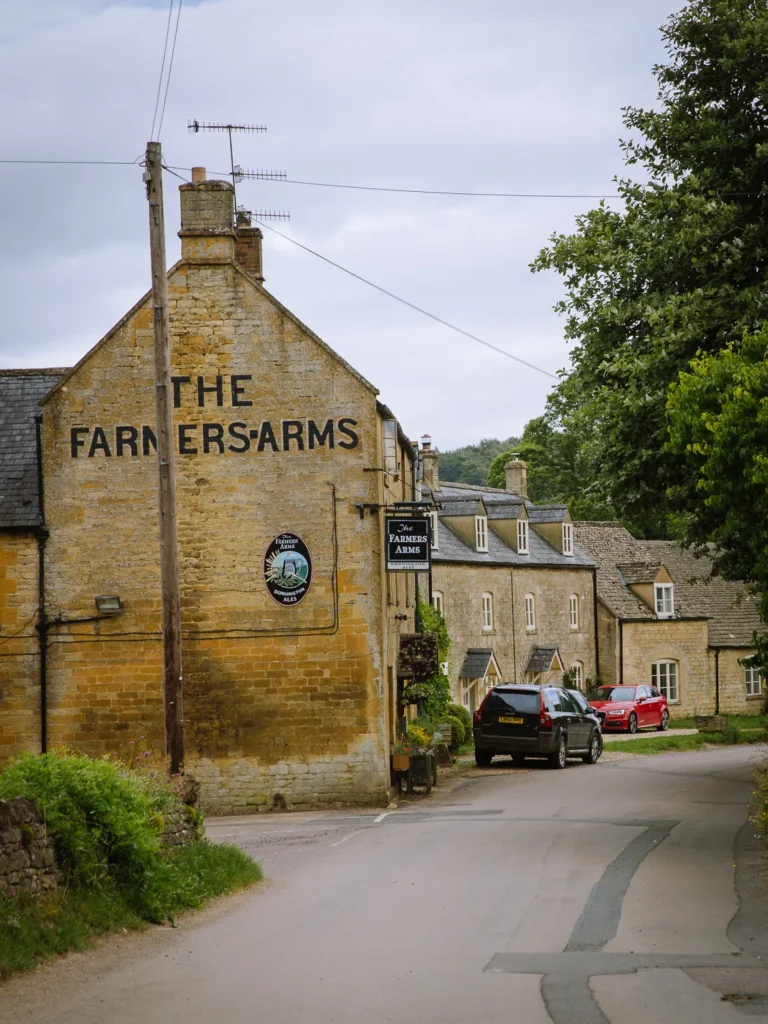
Guiting Power sits in the rolling hills between Winchcombe and Bourton-on-the-Water. A picturesque village, with a classic English green, honey-stone cottages, and an atmosphere largely untouched by tourism. There are two great places for lunch.
The Farmers Arms offers pub classics and grills with lunch served from 12 pm to 2:30 pm daily (till 4 pm on Sunday). We opted for the Old Post Office Cafe (9 am to 4 pm). The sandwich and carrot cake were just what we needed.

Afternoon
Satiated from lunch, we continued on the Warden’s Way, following the path to Naunton. Make sure you come off the main trail to explore the village, then pick up the Windrush Way and follow the River Windrush all the way into Bourton.
It’s a lovely stretch along the banks with the river babbling beside you. Hopefully, by the time you arrive in Bourton, the crowds will have left, and you can enjoy this stunning village to yourselves.
Evening
Bourton-on-the-Water is often called the “Venice of the Cotswolds,” thanks to the series of elegant low bridges spanning the River Windrush as it flows through the centre of the village. Make sure you take the time to explore before leaving the next day.
We stayed at the good-value Lamb Inn, but Bourton-on-the-Water has lots of options. If you want a very grand old-style stay, then hike a small part of tomorrow’s walk and stay at the Slaughters Manor House in Lower Slaughter.


Day 4 – Bourton-On-The-Water to Moreton-In-Marsh
- Start: Bourton-on-the-Water
- End: Moreton-in-Marsh
- Distance: 12.2 miles
- Elevation: 900 ft ascent and descent
- Time: 5 to 6 hours walking time
- High Route Map: OS Map Cotswolds Circular Day 4
Morning
The final day of this circular walk passes through possibly the most beautiful village in the Cotswolds and an excellent market town before finishing back at Moreton-in-Marsh.
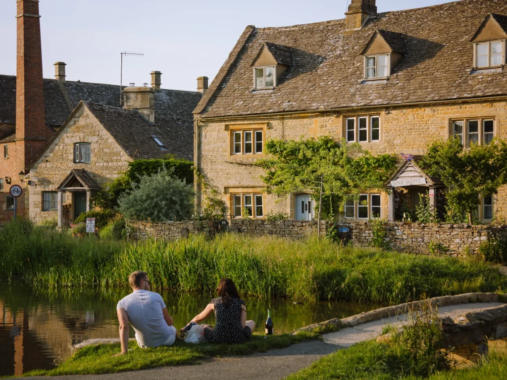
Today we got up early and explored Bourton-on-the-Water before breakfast. There was almost no one about, and it was wonderful. After breakfast, we followed the Monarch’s Way and then the Macmillan Way to Lower Slaughter.
Widely regarded as one of the most beautiful villages in England, its idyllic stream, the River Eye, flows gently past a row of immaculate honey-stone cottages to a picturesque old corn mill. It is entirely unspoilt and free from commercial intrusion.
We took our time wandering the little laneways and explored the mill before rejoining the Macmillan Way. The path cuts across the fields, past Hyde Mill and Nether Swell Manor, before climbing to the main road.
Crossing the road, and just before the Macmillan Way reaches Maugersbury, turn left and enter Stow-on-the-Wold.

Lunch
Stow-on-the-Wold is the highest town in the Cotswolds, where eight ancient roads converge, reflecting its historic importance as a major market town. It’s a great spot for lunch.
There are antique shops to explore, independent galleries to pop your head into, and cosy pubs dotted around the handsome market square.
We pottered into all the different delis and picked up bits and pieces for a light lunch. Although I think we may have gone overboard in the cheese shop.
Afternoon
After lunch, we picked up the Monarchs Way, following a track between two high hedges before reaching the villages of Broadwell, Donnington, Longborough and finally Moreton-in-the-Marsh.
Feeling rather tired as we wandered into town, and slumped onto = the benches on the train platform for our journey home.
We couldn’t say we’d completed the Cotswolds Way, but we could say we’d had an amazing four days.


More Cotswolds Guides

Anywhere We Roam is
reader-supported